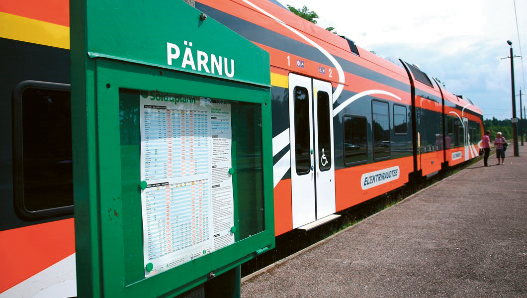
Train at Pärnu station (source: Postimees/Scanpix)
Practice
The intention of the Rail Baltic project is to fully integrate Estonia, Latvia and Lithuania in a track gauge of 1,435 mm railway transport system widely used in Europe. The Rail Baltic axis Warszawa – Kaunas – Riga – Tallinn is set as the 27th priority project by the European Commission in 2004. On 8 June 2010 the ministers of transport of Poland, Lithuania, Latvia, Estonia and Finland signed a memorandum expressing their political intent to continue with the implementation of the Rail Baltic project. Besides the Rail Baltic development plans have been assessed in the context of the White Paper of 28 March 2011: “Roadmap to a Single European Transport Area – Towards a competitive and resource efficient transport system”.The development of Rail Baltic meets the national planning strategies for the improvement of the railway network and for stimulating economic development in all three Baltic countries. In addition, one of the most important national and international planning factors is to offer a transport infrastructure with a sufficiently high level in order to support the defence and security needs of various organisations.
The impact of Rail Baltic to transport and land use cannot be underestimated. It has multiple effects at corridor, regional and local scale levels.
Issues
| Corridor level: | ||||
 |
|
 |
||
| Long term competiveness of Baltic region, also link to Finland and Norway with its northern sea harbors (space); | Increased congestion in E67 Tallinn-Pärnu-Riga-Kaunas highway (network); Optimizing the connection between infrastructures across international borders in order to create a coherent, optimal multimodal system (networks); | Challenges are related to the linkage of corridor scale to the regional scale (different transport modalities, spatial developments). | ||
| Regional / DUS level: | ||||
|
|
|||
| Exploration of land use and multimodal transport networks in various scales (space, network) | Exploration of daily urban system (network). | |||
| Local level: | ||||
|
||||
| Spatial solutions are needed to solve interface of transport infrastructure with the land use (barriers, impacts to the human health). |
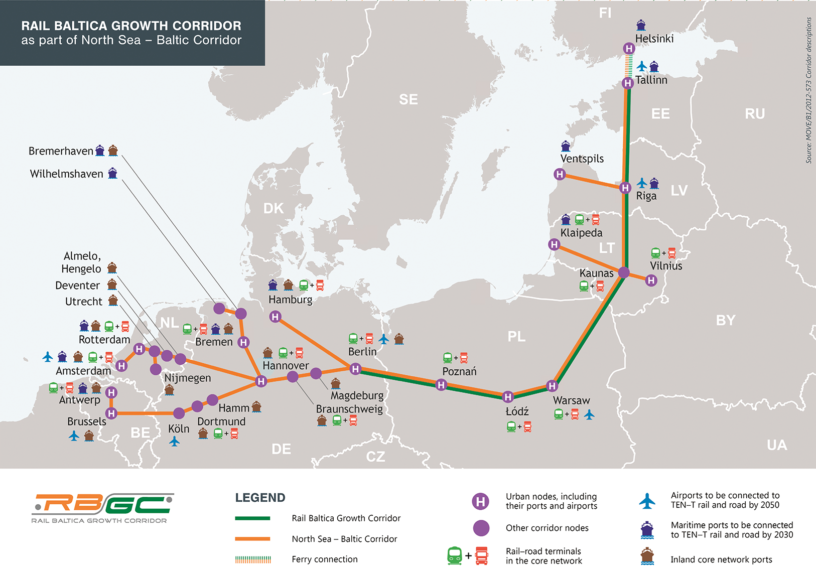
Rail Baltica Growth Corridor map (source: rbgc.eu/media/rail-baltica-growth-strategy-version-1.1.pdf)
NUVIT themes
A prologue study could focus especially on the hub development in Tallinn and Pärnu, where the following themes are to be considered:- Spatial acupuncture for merging expanding infrastructure in the urban fabric (space)- connections to harbor, airport,
- Embedding developments Tallinn multimodal hub of Ülemiste in relationship to fast growing business district and living space.
- Capturing value of the fast train station for the Pärnu city
- Development of sustainable traffic network and living space in relation to Rail Baltic in Pärnu.
- Research on spatial development options reflecting increasing impacts from the railway corridor.
Stakeholders
- National government Estonia
- City of Tallinn
- City of Pärnu
- Tallinn Airport
- Rail Baltic management company
- Tallinn Harbour